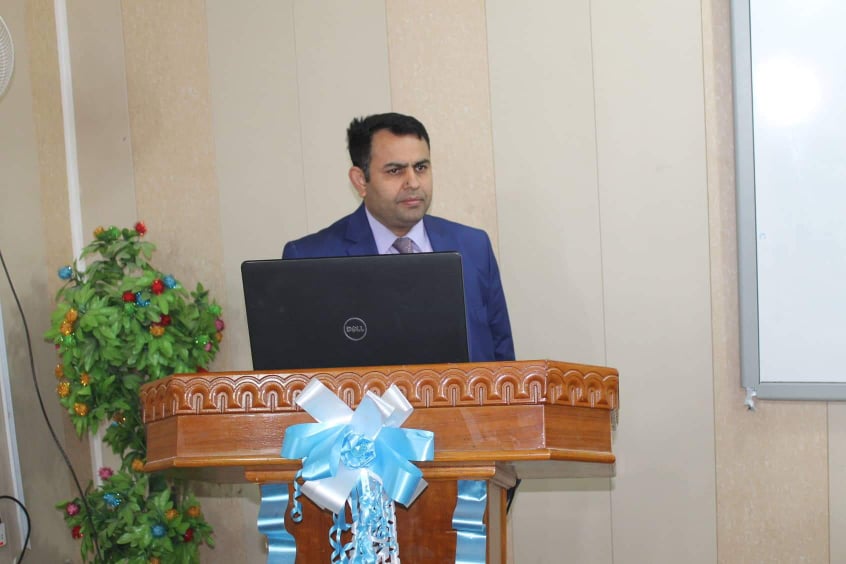
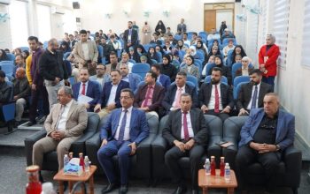
The University of Misan organized a workshop on the use of the Arc GIS program in the agricultural mapping of Misan Governorate. The college of Agriculture, Misan University, organized a workshop on the use of the Arc GIS program in the agricultural mapping of Misan province, with the participation of teachers and specialists. The workshop included two axes that included the first axis: an introductory lecture by Dr. Hanish Karim on an introduction to GIS, its main components, applications and objectives, in addition to the definition of data collection, input and processing in its spatial forms (maps, aerial pictures, spatial data), attribute data The lecture also included the definition of Raster data types and vector data While the second axis included the practical aspect of Arc Map by Dr. Fouad Fouad Abbas, where the definition of the interface of the program and the most important tools used in the method of summoning the data, whether point or straight or polygon with a clear steps to map a farm in the district of Ali Gharbi as an example The workshop included observations and interventions of the participating professors